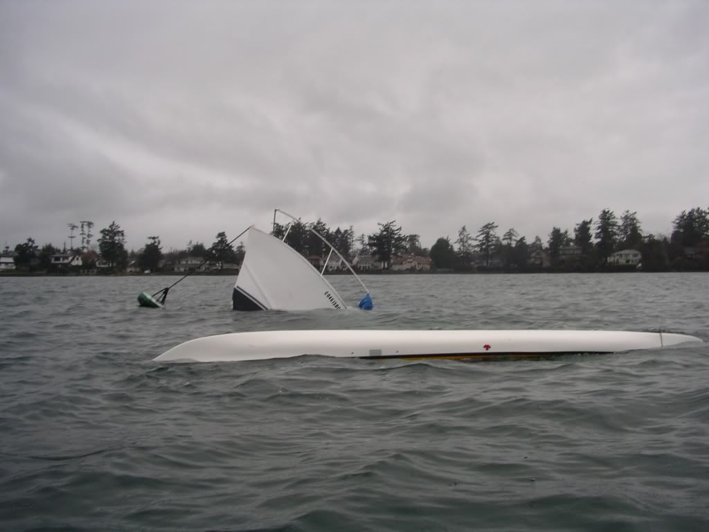
Saturday, January 20, 2007

January 27 - Becher Bay

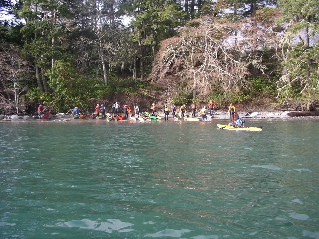
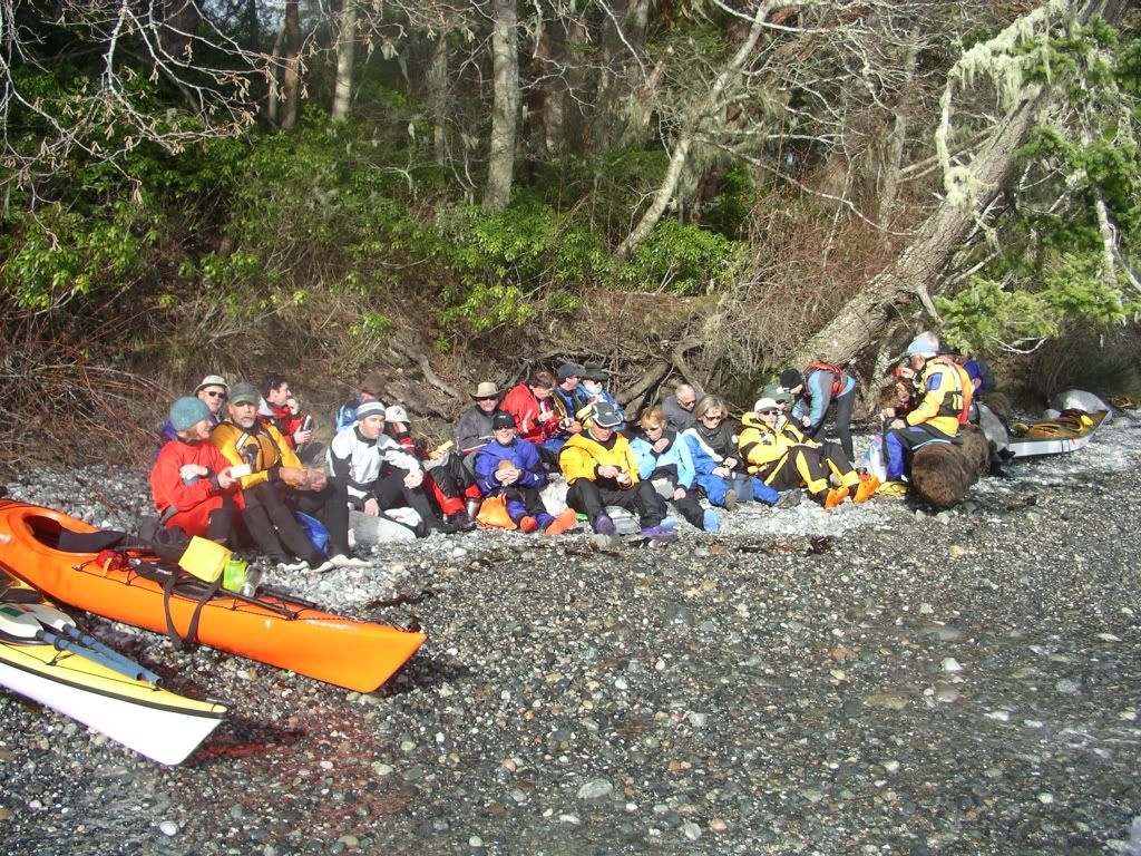
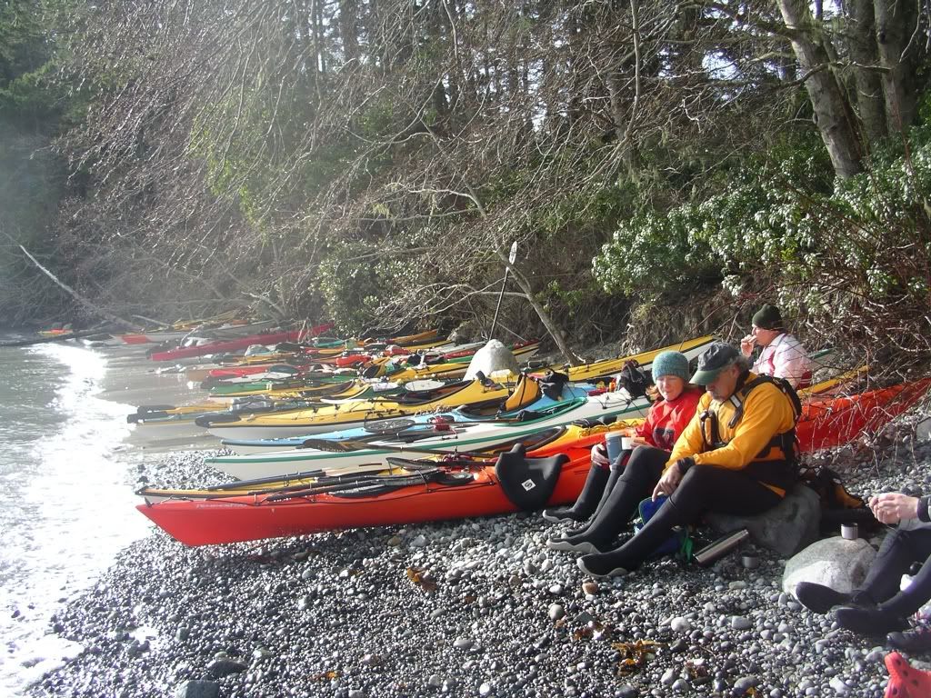
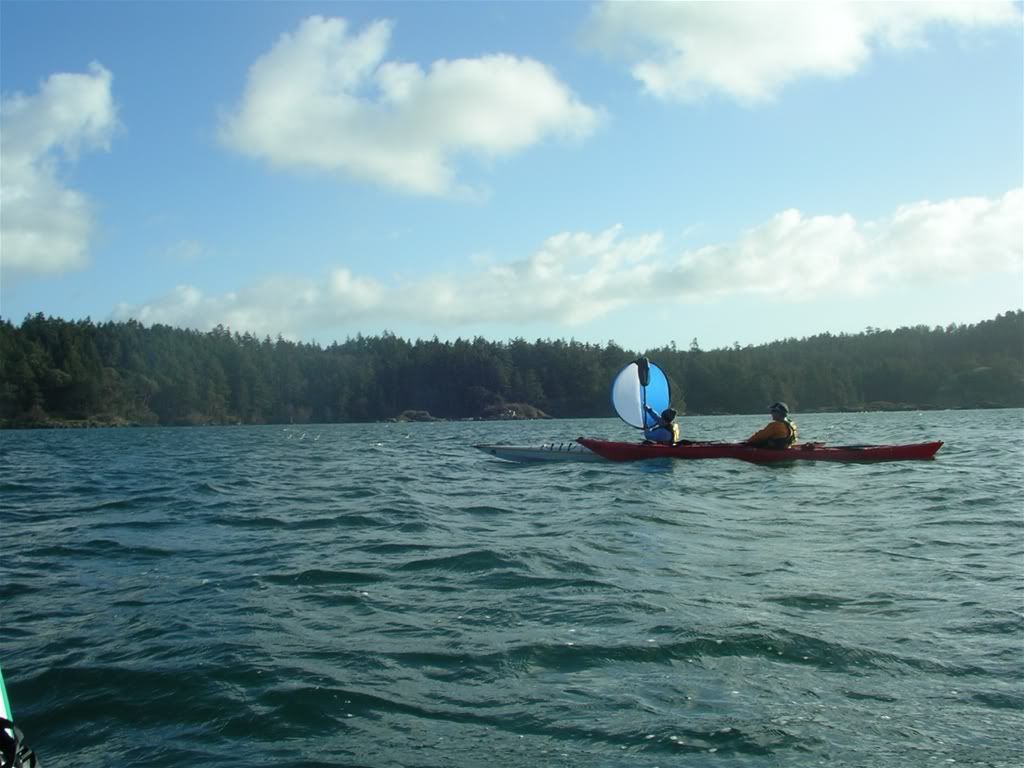
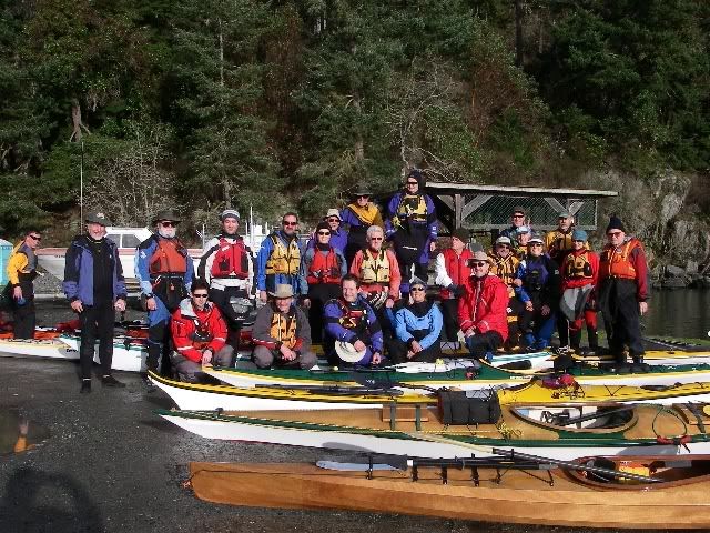
I joined a VCKC "Energizer" paddle today and we (all 27 of us) went to Becher Bay. The weather was great, though a bit windy at the start, and we made a very pleasant paddle over to Aylard farm. I had a quick go at sailing at the end and the Pacific Action sail worked well. We finished off by going to MyChosen Cafe to celebrate Duncan's "62nd" birthday!

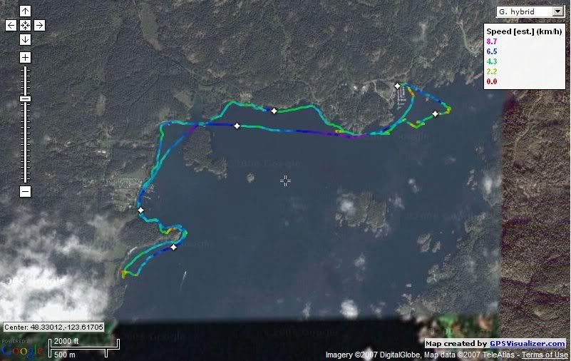
http://www.islandnet.com/~mjackson/google/2007_01_20_becher.htm is an interactive Google maps link to our track.

- fixed track image - 10.7 km, 5.8 NM, YTD 47 km.

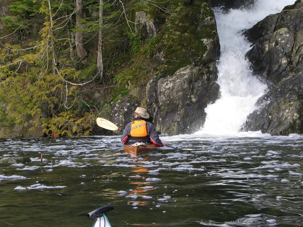
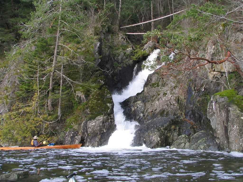
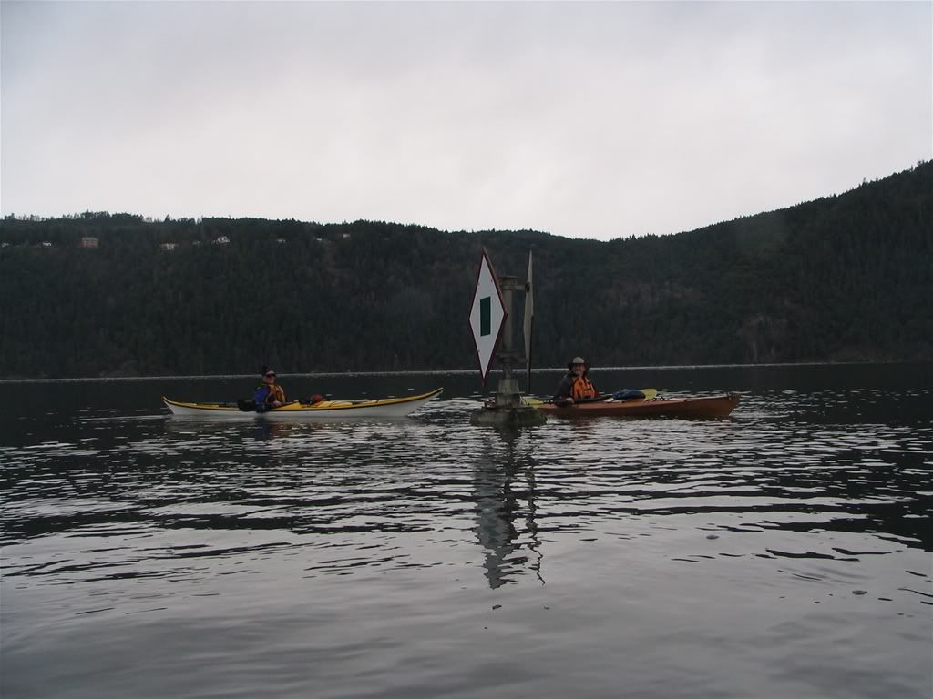
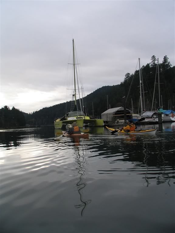
Some shots from the day:

The group!

Friday, January 12, 2007

Jan 12 - no paddling today

For some reason, I don't plan to paddle today...


Sunday, January 07, 2007

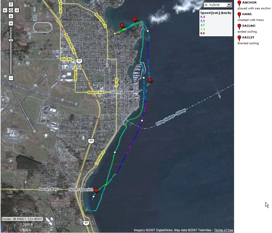
January 7 - Bazan Bay (#3)

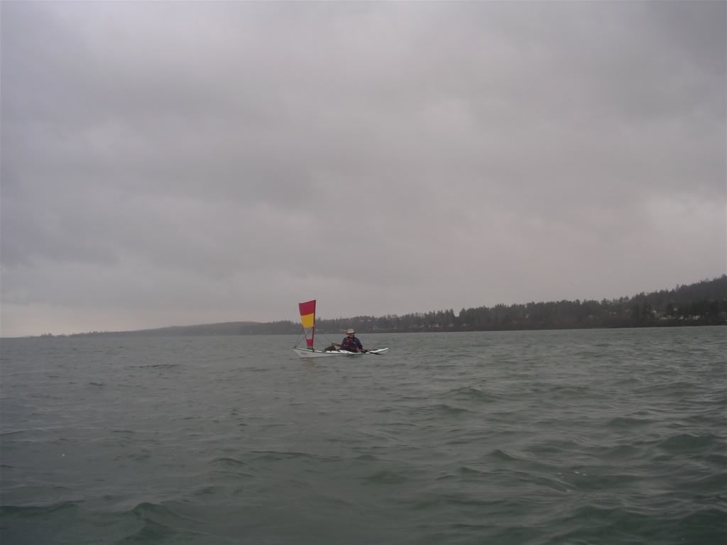
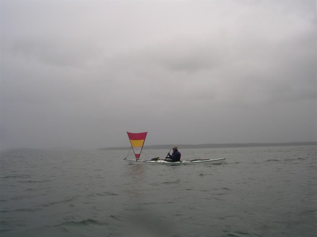
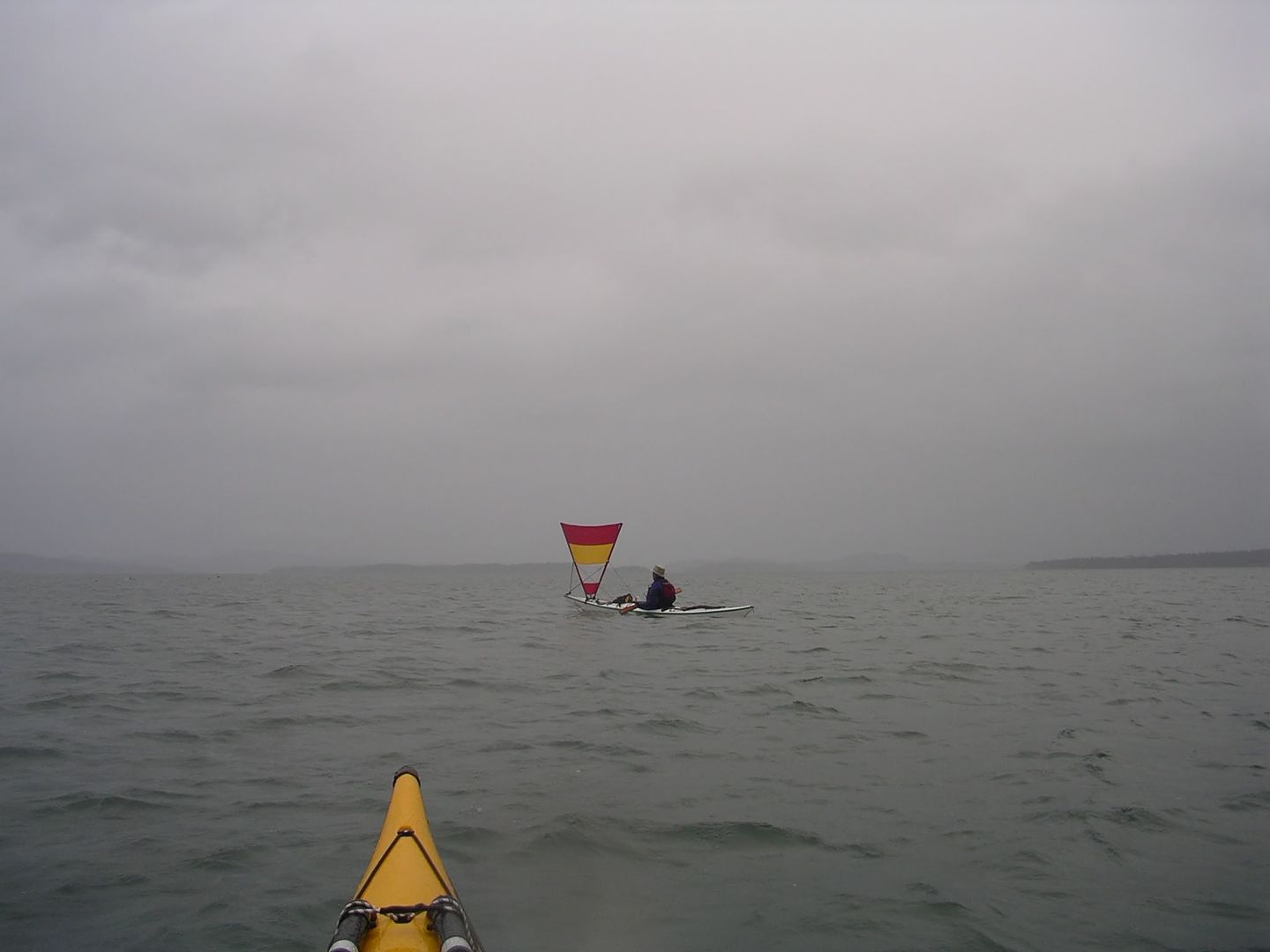
Mike and I went for a fairly early paddle out of Roberts Bay. The forecast was indicating that the wind would be out of the south and then build out of the west, so we decided to stay close to shore and follow it down to Bazan Bay - I hoped for a good tail wind back from Bazan... The sail rig worked well and Mike took some pics. However the wind was already turning to the west, making it harder to track.

11.2 km, 6 NM, YTD 36 km 

Saturday, January 06, 2007

January 6, Trial Island (#2)

Pete and I snuck out for a couple of hours from McNeill Bay. My main goal was to try out the new Pacific Action sail that arrived on Friday and I installed this morning. It worked great in that it was easy to deploy and to furl. It also moved me along at a good clip - a fast paddling pace at least. It also seems to work quite well off directly downwind. I will need to tinker with the location of a couple of things and practice sail trimming a bit more, but it looks like it will be fun! I was sailing in all the purple/blue sections of the tack below and also in the second run north east from Trial Island. The wind was probably about 10 knots most of the time and gusting occasionally to 15 knots.

8.8 km, 4.8 NM, YTD 25 km.

Monday, January 01, 2007

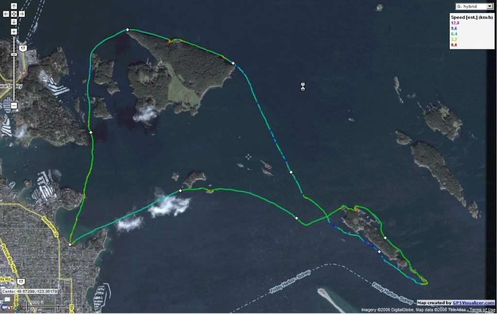
New Year's Day - Forrest and Coal Islands (#1)

Mike and I  decided to start the year off with a good paddle and set out from Robert's bay at 0930. We had calm dry conditions for launching and the wind gradually built while we made our way to Ker. By the time we got to Forrest, it was blowing nicely from the SE, so we paddled to the south end of Forrest and then let the wind take us to Coal Island. Great ride. I had my small (0.75 sq m) Sprit Sail up and was making great progress without paddling (max speed 15 kph or just over 8 knots!). Mike paddled and got some great rides on the surf. We rounded coal and entered calm quiet waters where we stopped for lunch. Mike found  a bottle with a message in it and is e-mailing the writers... The wind was blowing strongly when we were making our way from Curteis Point to Roberts Bay, making it quite hard work, but conditions were pleasantly exhilarating. We made it back to the beach by about 1330.

Kelp Reef recorded fairly steady SSE winds between 23 and 28 knots for the period from 0900 to 1300.

17.8 km, 8.2 NM, YTD 18 km!

  
 North of Coal                                          Now you see him...                                Now you don't!

Sunday, December 31, 2006

December 31 - 2006 a year of good paddling

As the year draws to a close, it is nice to look back at a great year of paddling. I started the year with a goal of paddling 1000 km for some reason and it was quite easy to make - just had to paddle regularly which was easy to do! The highlight of the year was certainly the west coast trip from Quatsino Sound to Nootka Sound. It was a lot of fun planning and preparing for it and then it was exciting to do it - many special sites and some pretty amazing paddling. It was also neat to cover so much ground. I have learned a lot about weather, navigation, gear  and more - that too has been fun. Paddling Vancouver Island is wonderful as the paddling companions, tides, weather, and currents make each paddle to the same place unique.

Keeping the journal has been fun too - it was not as hard as I thought to "log" each trip, save the track with my trusty etrex legend and post a few photos. I plan to keep the journal up next year, but have no distance goal in mind.

The Optio 33WR and Canon S1IS in a housing have been great cameras to use while paddling and have no worries about water.

GPS visualizer's track to map image conversion site has been a great encouragement to keep the tracks posted as it was so easy to do.

The blog image site has somewhere over 650 images (including the maps) - Some of my favourite shots from the year:


Happy New Year and thanks to all of you that came out with me!
Friday, December 29, 2006

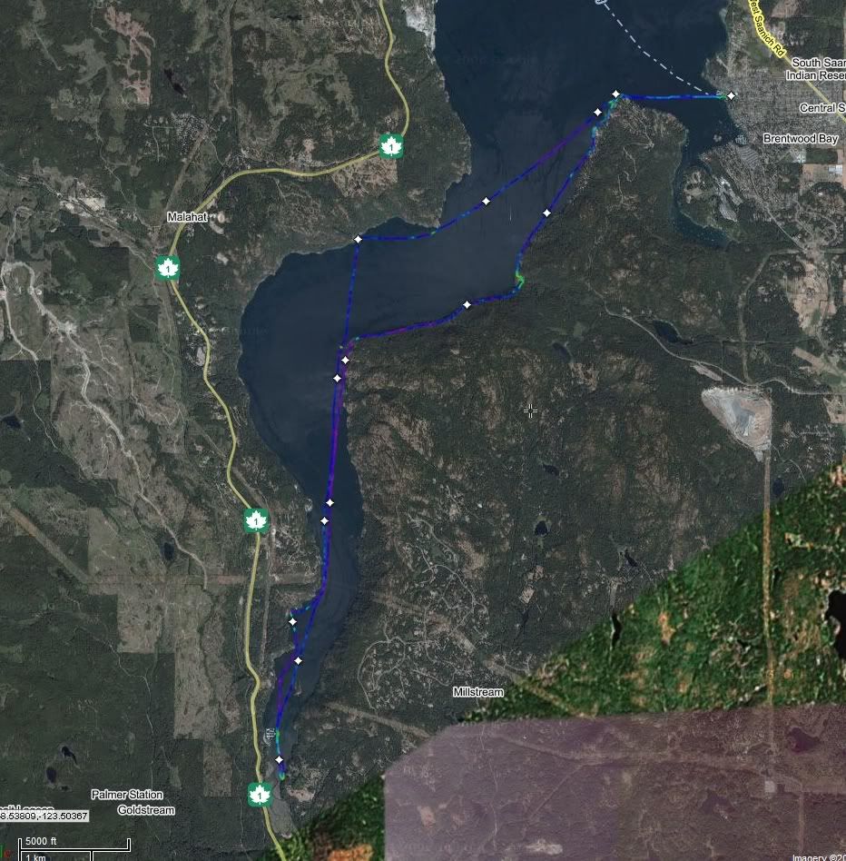
December 29th, Brentwood to Goldstream (#77)

Dennis, John and I went for a paddle in Saanich inlet, thinking that the weather forecast was a bit iffy. As it turned out, we had calm conditions and just a sprinkle of rain throughout our paddle. Visited Spectacle creek and Goldstream boathouse. Had a fairly protected lunch break in Misery Bay. The tide was remarkably high this morning - no launching beach! Probably the last paddle of the year and it was a good one - I managed to make the 1000 km even without the summer west coast trip!

28 km, 15 NM, YTD 1273 km  


Spectacle falls


high tide at Repulse rock                         Goldstream Marina                 Google map of route

Sunday, December 24, 2006

December 23 - Gorge #76

Seasonn and I took the Passat to the gorge and paddle from the Craigflower beach to the Bay Street Bridge. The wind was building from the southeast and was making it hard going. Once we turned around, I put up the large Spiritsail and we moved along quite nicely with the wind and the current at our back!


4.5 NM, 8 km, YTD 1245 km

Thursday, December 21, 2006

December 20th Jordan River

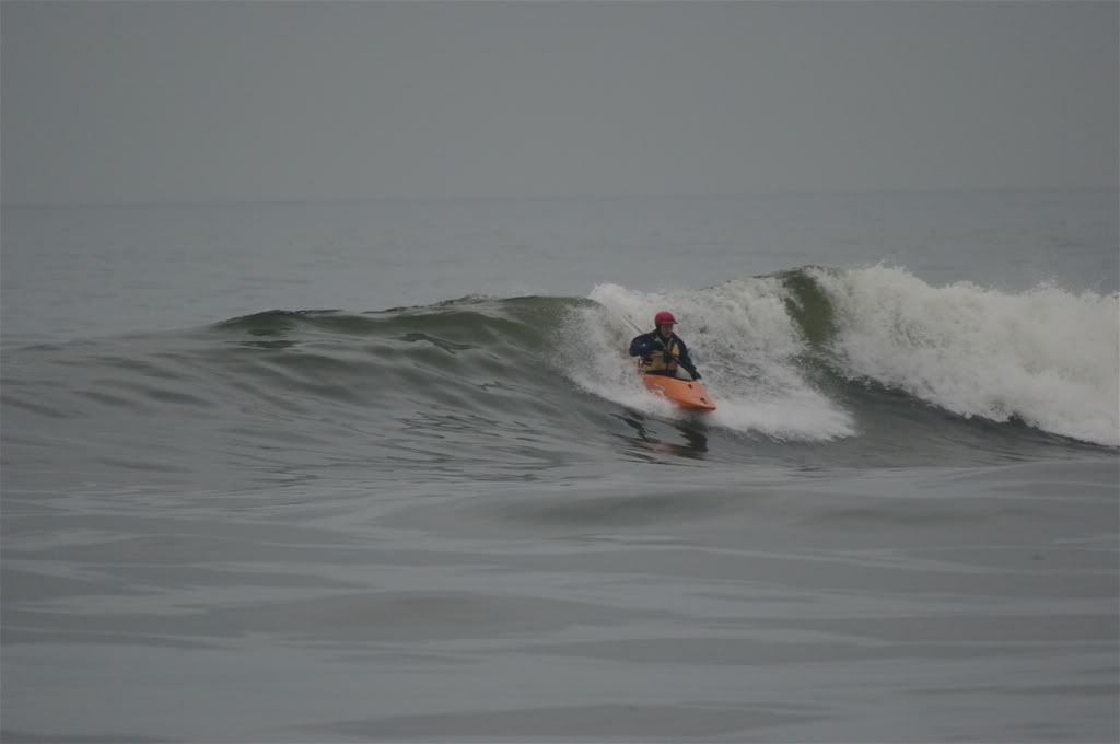
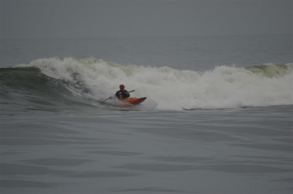
Did not go sea kayaking today, but managed to spend an hour playing in the surf at Jordan River. We were out staying at Point No Point for a couple of days. It was a nice flat sea with a decent swell. I am out of practice since I had trouble catching several nice waves. I did manage to get a few nice rides though.

Monday, December 18, 2006

December 17th - Crystal Pool

Did not manage to get out this weekend as I had a bunch of jobs to do around home. However, I was able to get to the pool to do a couple of hours of rolling and bracing practice. I brought my Gulfstream and my Feathercraft. I wanted to practice chest sculling with a view to graduating to a reverse sweep or storm roll, but did not make great progress. I did get some successful chest scull recoveries, but not consistently. I was using the Feathercraft with a modified back (#3) rib so that the back deck was low and this was great for layback type rolls - I almost had a hand roll with it. It also worked great for doing a static brace and recovery. Interestingly, I found the Gulfstream easier to chest scull with but harder to do a static brace with. I obviously need some more practice, so I will be heading back to the pool in the New Year! Mark and Craig were also at the pool.

Monday, December 11, 2006

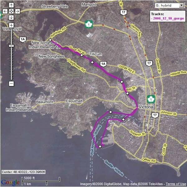
December 10 - The Gorge (#75)

George and I went for a "lazy" Sunday afternoon paddle in the Gorge. We left the beach near Craigflower and went as far as Ogden Point. The weather was calmer than expected and there was hardly any rain.

not a "live" map

8.3 NM, 15.4 km, YTD 1237 km

Sunday, December 03, 2006

December 3 - Discovery (#74)

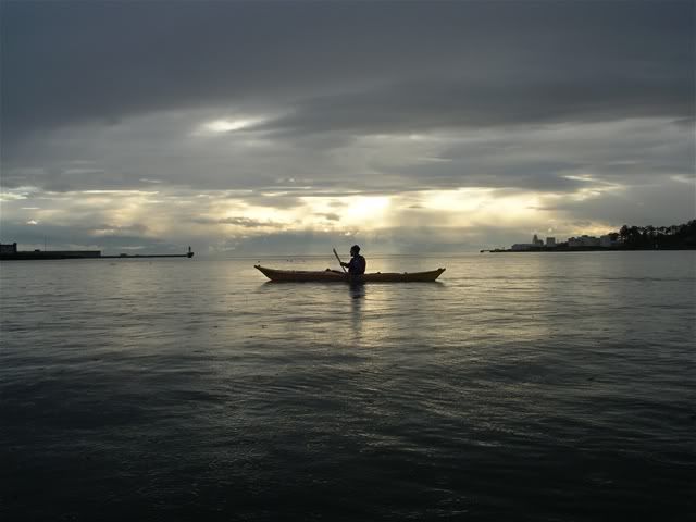
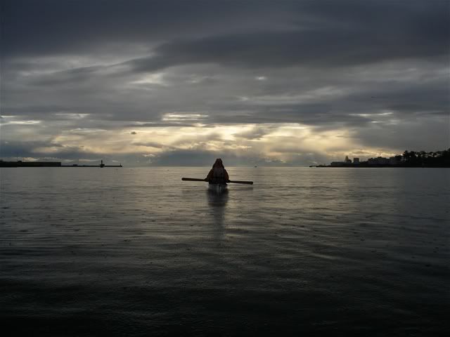
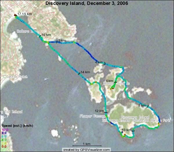
George, Dennis and I went out for 9 AM OTW from Cadboro Bay and had a nice winter's day paddle out to the Islands. The tide was high, so we were able to get into the inlet and visit "cactus island". Conditions were fine, windy at times, but nothing that made paddling hard. Chatham and Discovery Islands are a such a wonderful spot. Dennis found a couple of crab trap floats and I found a hula hoop!

George and Mt Baker

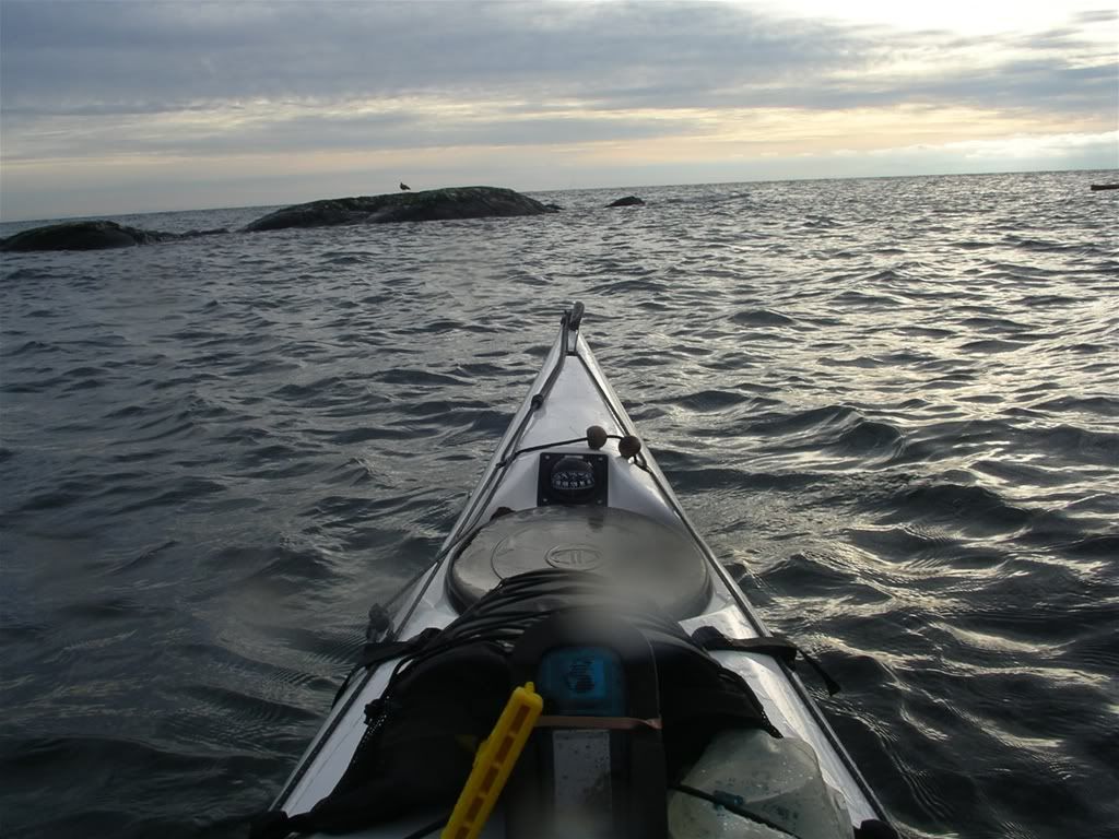
The view from the cockpit - darned water drops!

17.2 km, 9.3 NM, YTD 1222 km.

Monday, November 27, 2006

Monday, November 13, 2006

November 13 (#73) - Oak Bay - made it to 1200 km!

Craig, Mike and I set off from Cadboro Bay to play in the bay for a few hours. It was rainy and windy with the forecast “Winds westerly 25 to gales 35 knots easing to westerly 20 to 25 this afternoon” – the storm warning had been downgraded.

It was hard work paddling into the wind to make our way to Gonzalez point, but fun. I landed at the golf course to check the wind with my anemometer – got a reading of 25 knots.

33wrimgp4903 33wrimgp4905 Craig and Mike off Gonzalez point.

 2006_11_13_oakbay 7 nm, 13 km, YTD 1205 km.

Sunday, November 12, 2006

November 12 (#72)

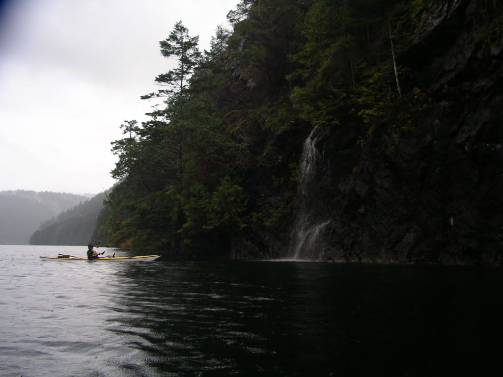
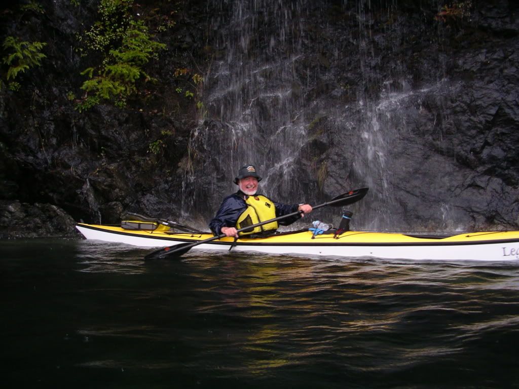
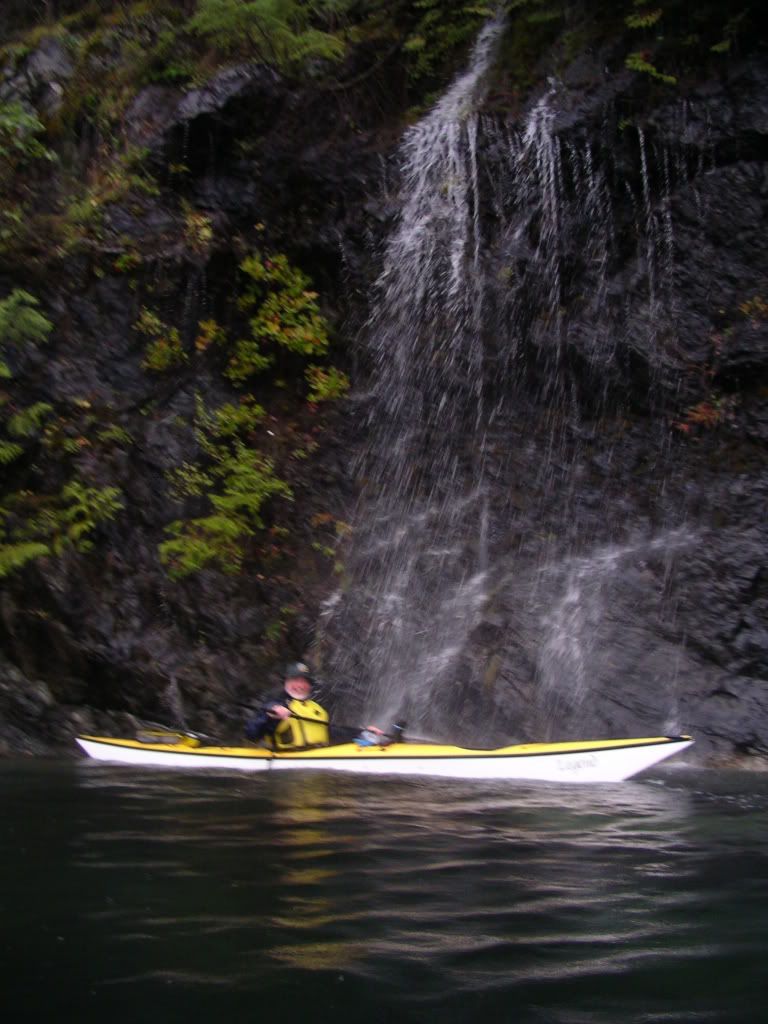
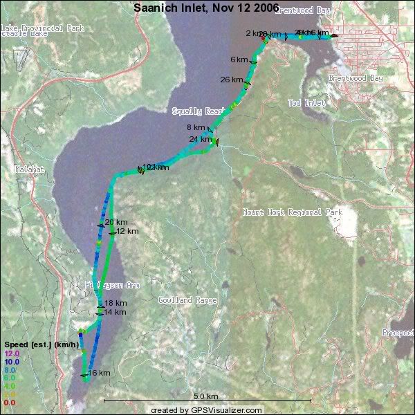
Dennis, Heike and I set off from the Brentwood bay beach on a rather damp morning. It rained pretty steadily until just before we got back. Dennis had to go back after a mile, so Heike and I paddled back with him before starting again. We made it to Sawluctus island and back and conditions were fine, though wet and a bit cold. We did not tarry long at lunch in Misery bay as it was not warm enough. The east side of the inlet was dripping wet with small scades coming off it everywhere. We also enjoyed checking out the Robertson II. The tide was very high all day, so there was very ltle around in of beaches.

33wrimgp4896 33wrimgp4899 33wrimgp4900 33wrimgp4902 

33wrimgp4901 2006_11_12_saanich15.7 nm, 29 km, YTD: 1192