Sunday, August 27, 2006

22 km to go!

Well, my original goal was to make 1000 km in the year, but I have now decided that I should modify the goal to be 1000 km before the school year starts on September 5th. It looks as if all I have left is a nice one day paddle!


Cox Bay, Tofino, August 24th (#61)

I was up in Tofino with the family for  a week and had the FC wisper with me. I managed to get out off Chesterman Beach one morning when there was no fog and paddle around Cox Bay. It was a beautiful morning, the tide was way out and the inter tidal zonation was very clear on the rocks. The FC wisper paddled nicely in the swells and it was fun to poke around the rocks and kelp beds.
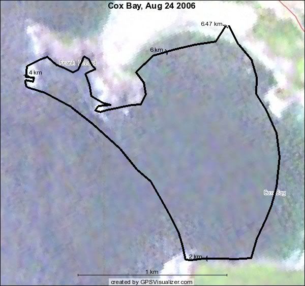
2006_08_24_COXBAY 6.5 km, 3.5 nm, YTD 978 km

Sunday, August 13, 2006

Sidney Island, 13 August (#60)

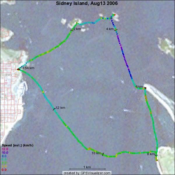
Monica, Jenny and I set out from Amherst to paddle out to Sidney Island. We went via Ker and Dock islands and had great conditions – a nice ebb current to help us down to Sidney.

 

33wrimgp4804 33wrimgp4802

2006_08_13_sidney 7.3 nm, 13.5 km, YTD : 972

Saturday, August 12, 2006

Mt Douglas to Ogden Point (August 12) (#59)

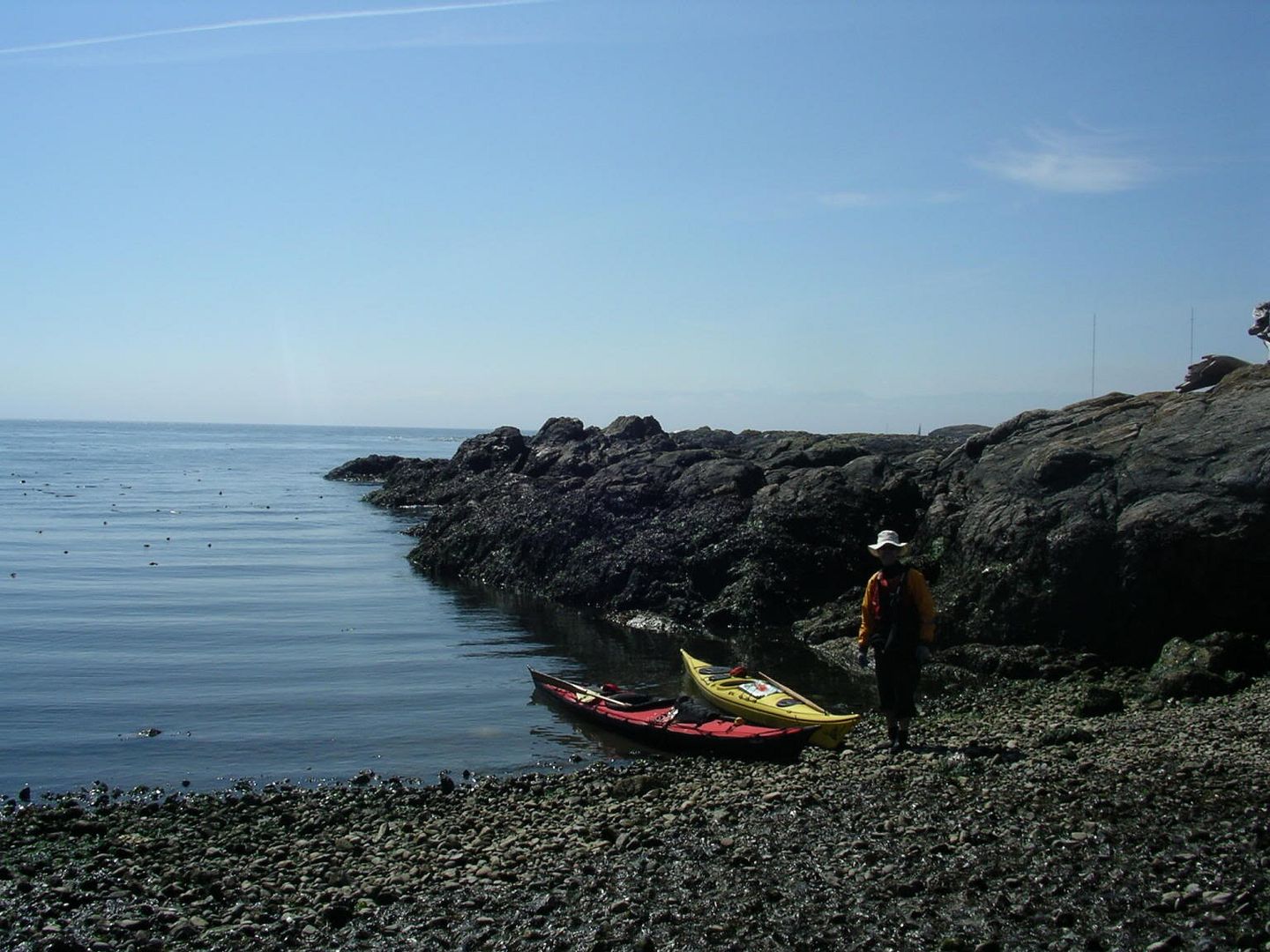
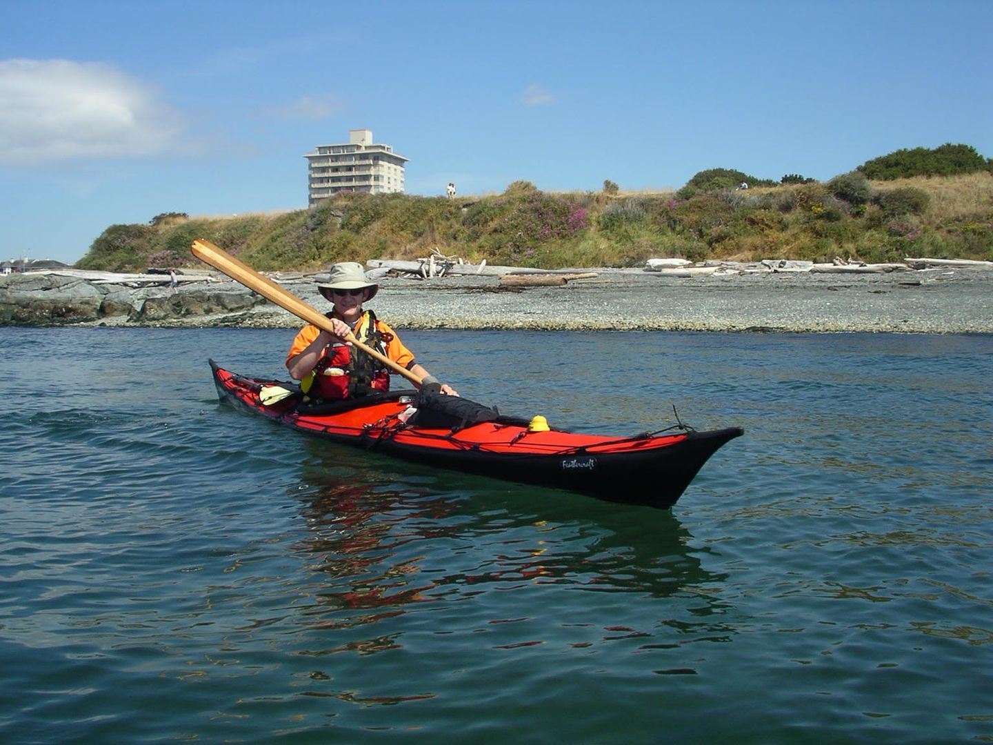
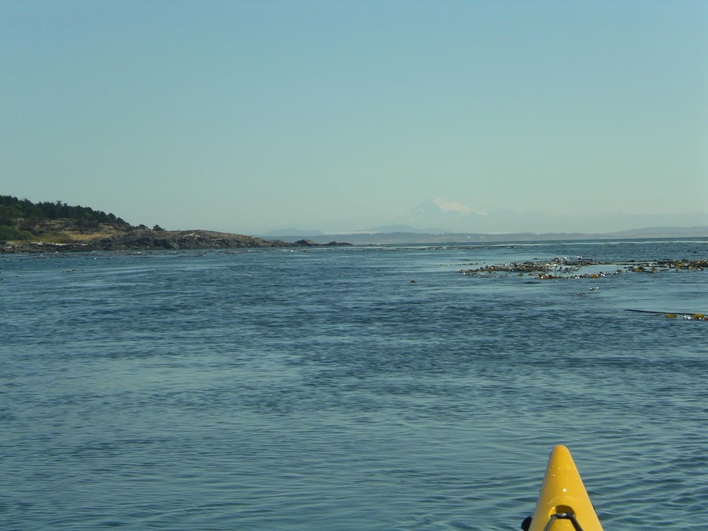
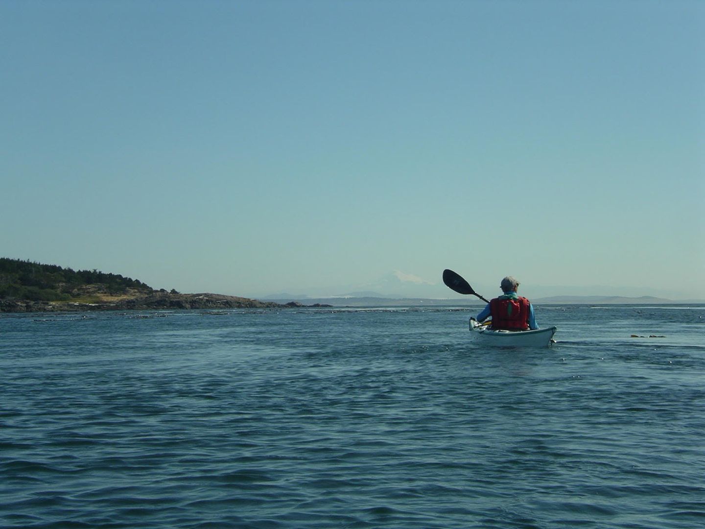
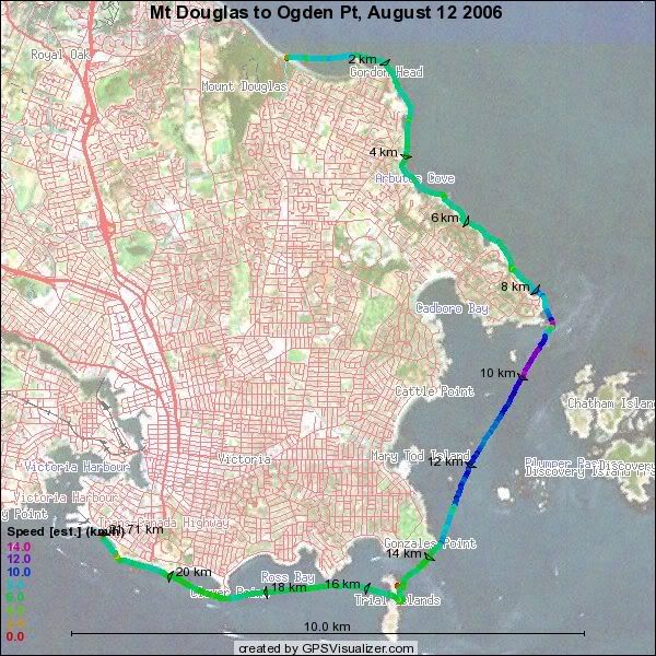
George and I set out from Mt Douglas Park beach (thanks to Monica for the drop off and pick up) at 9 AM and had a wonderful paddle along Victoria’s coastline. Conditions were sunny and calm and the current was with us as far as Clover Point. I had the Feathercraft Wisper on its inagural saltwater paddle and was very impressed. It had no problem at all keeping up with or ahead of the sirocco. It also rode the waves nicely and did not have any directional control issues. It was also nice to have such a light boat for beaching. I can see myself using the Wisper on regular day paddles…
 33wrimgp479633wrimgp479833wrimgp480033wrimgp4801

2006_08_12_ogden11.7 nm, 22 km, YTD: 959

Thursday, August 10, 2006

August 8th and 8th - Oyama (#57 & #58)

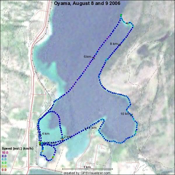
I went back to Oyama to pick up “the girls” and of course had to paddle a bit! Managed to get out for a short paddle ( 2 nm) on Tuesday afternoon after my drive out and a longer paddle (5 nm) on  Wednesday. We returned to Victoria on Thursday. I got Monica to take some pics!
Istdsimgp3066Istdsimgp3061

2006_08_08&09_oyama 7 nm, 13 km, YTD: 937

Monday, August 07, 2006

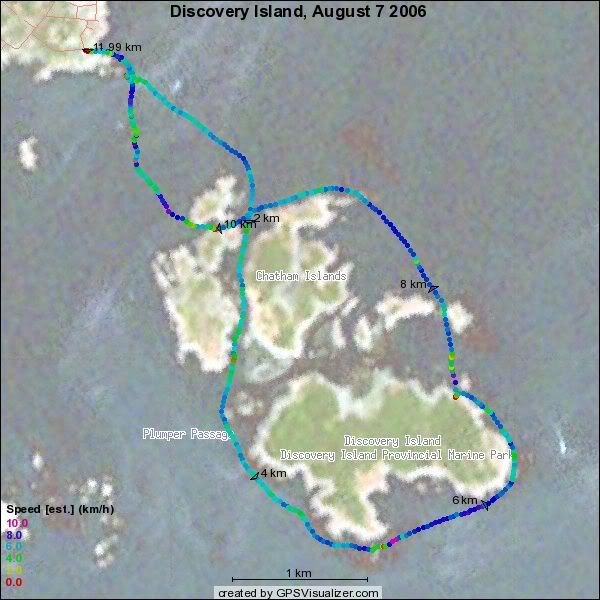
August 7th - Discovery Island (#56)

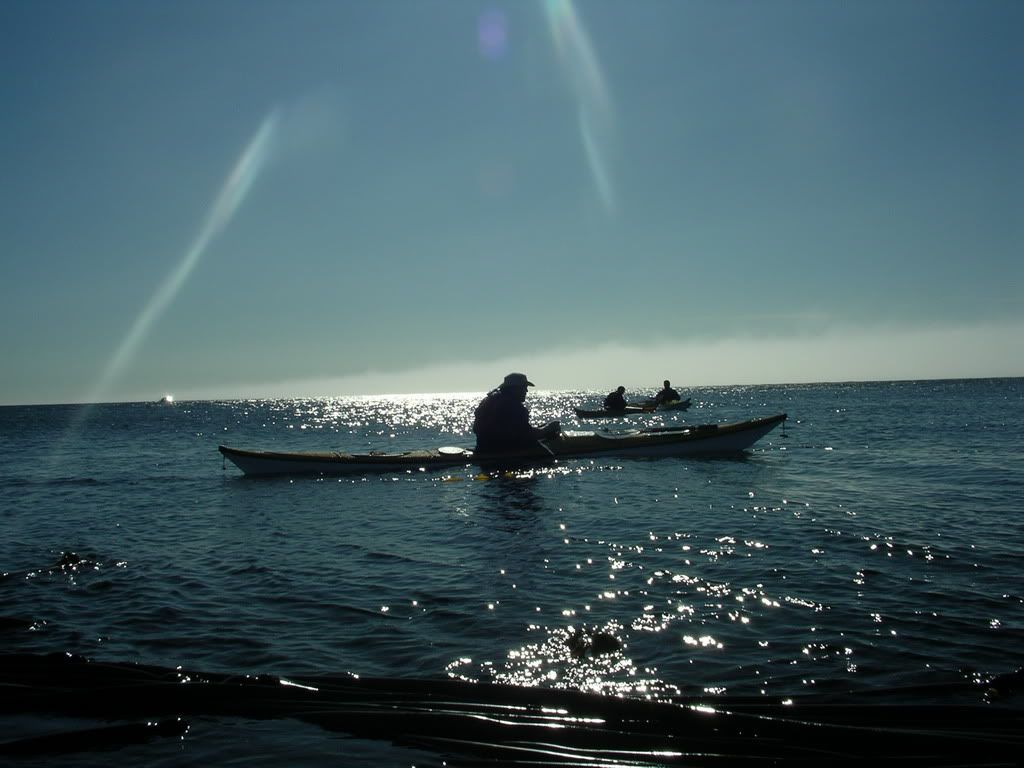
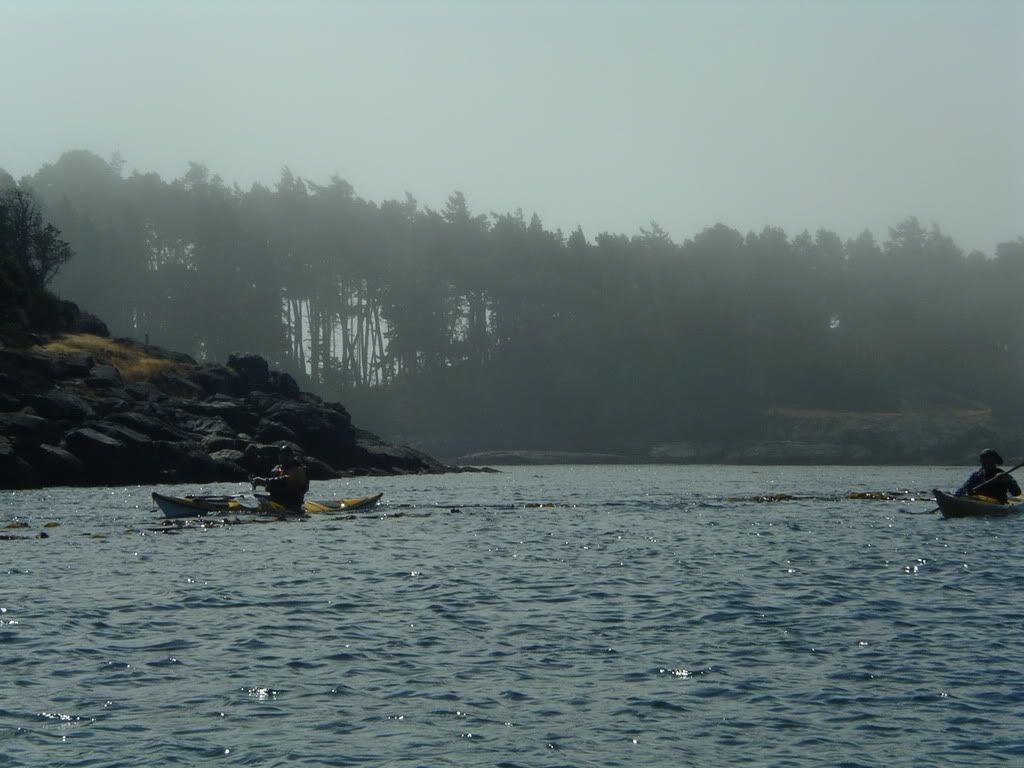
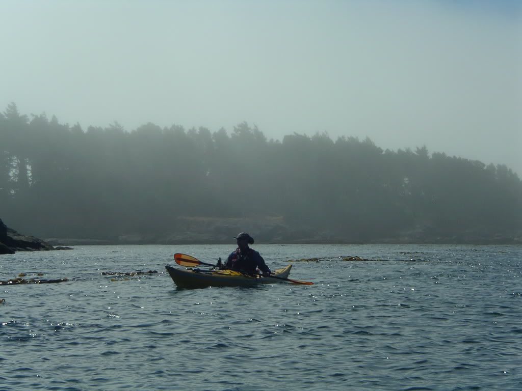
Tony and I headed out from Smuggler’s cove at around 10 AM for a paddle around Chatham and Discovery Islands. Tony was trying out my NF Shadow and I his NDK explorer. Both of us enjoyed each others’ boats. There was a nice flood on our way back with some good standing waves in Baynes.

33wrimgp479333wrimgp4795

6.5 nm, 12 km, YTD 924 km.

2006_08_07_discovery

Sunday, August 06, 2006

Sunday July 6 - Race Passage (#55)

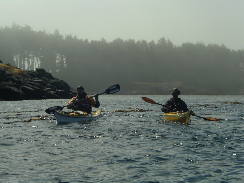
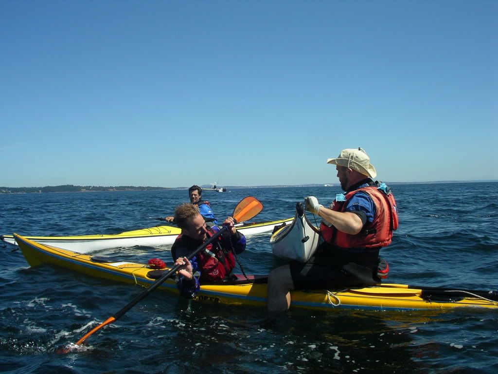
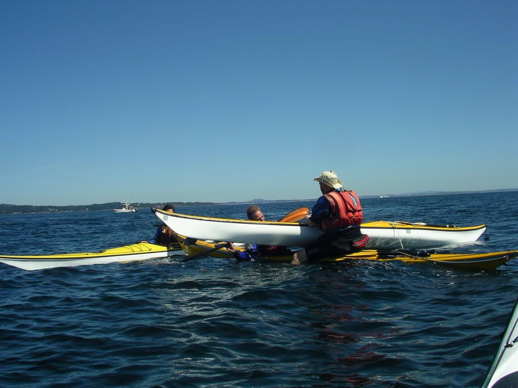
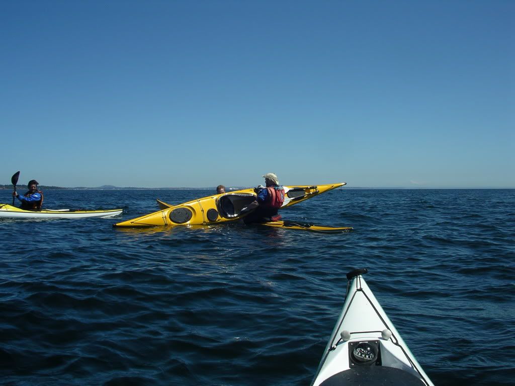
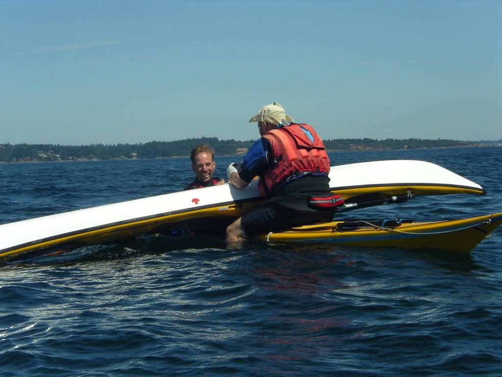
Mike, Craig, Mark and I set off from the end of Taylor Road to paddle over to the Race Rocks area. The weather was great east of Pedder bay, but there was fog from Cudlip point west, including the race itself. We had fun in some waves and current and fog and practiced some rolls and rescues. Mike and Mark practiced doing a repair on Mike’s boat.

 Some shots:
33wrimgp4777_resize33wrimgp4778_resize33wrimgp4779_resize33wrimgp4780_resize
33wrimgp4781_resize33wrimgp4782_resize33wrimgp4783_resize33wrimgp4784_resize

33wrimgp4785_resize33wrimgp4786_resize mirages at victoria waterfront
33wrimgp4788_resize33wrimgp4789_resize33wrimgp4790_resize33wrimgp4791_resize

Mike and Mark’s boat repair party!

10.6 nm, 19.6 km, YTD: 912 km

Wednesday, August 02, 2006

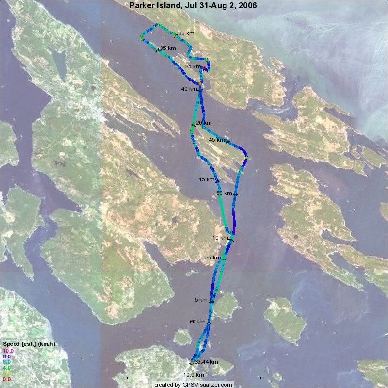
Parker Island - July 31 to Aug 2 (# 54)

Gordin, Mark, Tony and I went to Gordin’s in law’s place on Parker Island for a couple of nights. We had two great days paddling to and from as well as a nice day paddle around the Montague Harbour area and the cliffs and islets to the north. We also paid a visit to Henessy Hammocks…

 We took to many pics to post easily here, so I have posted them on my pbase gallery at: http://www.pbase.com/mhjackson/parker_island

 The trip route:2006_08_02_parker

Total trip 34 nm, 63 km, YTD 892

Sunday, July 30, 2006

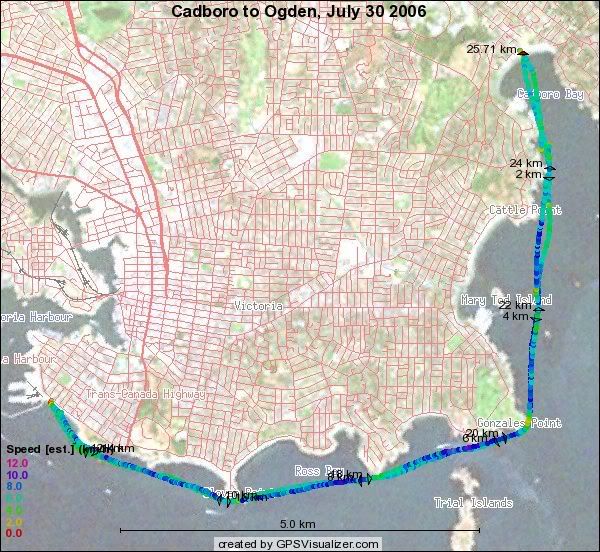
Cadboro Bay to Ogden Point (#53) July 30

Bill, Doug, Roscoe,  Dennis and I set out from Cadboro Bay at 10 AM and made great progress to Gonzalez point as we had the current with us. After Gonzalez Point, the progress was not as fast since the current was not helping and we had the wind against us. However we made an overall average of 3.5 knots to the beach at Ogden point where we had a relaxed lunch. The return trip had the wind behind us and a bit of current in our favour, so we made even better progress. I put the small Sprit sail up at Clover Point and had a great sail as far as the middle of Oak Bay. The wind picked up and made it a little trick to get the sail down, buit I managed without capsizing. It was nice to sail with neglible waves and swell.

Our track from today:2006_07_30_ogden 13.9 nm, 25.7 km YTD: 829 km.
Saturday, July 29, 2006

The trip Journal July 17 to 27

Quatsino Sound to Nootka SoundJuly 17-27, 2006


Our goal was to paddle from Winter Harbour in Quatsino Sound to Cougar Creek in Nootka Sound. By being dropped off and then picked up again, we had the flexibility to go as far as conditions would allow us since there were “outs” at Fair Harbour and Little Espinoza inlet (or even back to Winter Harbour) if we did not make our goal. I was paddling a brand new Nigel Foster Shadow and Pete and George were paddling Current Designs Siroccos. Pete, George and I are all teachers at the same school – St. Michaels University School.

There are too many pictures to include most of them in this journal, so I have posted them on another site: http://www.pbase.com/mhjackson/quatsinonootka

The trip route is posted on a google map at: http://www.islandnet.com/~mjackson/google/quatsino_nootka_2006.htm

Day 0 – Victoria to Gooding Cove – July 17


We had an early start, picking up Pete and George as well as our driver John. I also had to make a detour to Keating X road to pick up a short sleeved paddling jacket. As we were travelling north we decided that it would be smart, based on the weather forecast of calm winds on the 19th, to try to put in on the south side of Quatsino sound. We decided to try for Side Bay and made our way north to Port Alice where the logging roads began. There was a sign in Port Alice showing a nice road to Side Bay with a campsite symbol. There were even Road signs to it! Well around Le Mare Lake we went wrong… we carried on along a good logging road passing Gooding Cove for the first time. It seemed as if the new road might keep going all the way to Side Bay. Wrong! We ended up at the end of the road in an active logging area. We turned around, and made our way back to Le Mare Lake, passing Gooding Cove for the second time when we glimpsed a short pathway to the beach. We eventually found a small side road near Le Mare lake that went towards the Keith River estuary and Side Bay. This road got narrower and narrower as we wet along and had a few small trees down across it. We made it to the Side Bay area as the road closed in on us and we never found the beach access or campsite (A couple of guys who followed us thinking we knew were we were going did eventually find the site about 500 metres past where we turned around). We turned around and decided that our only option, given the late hour was to go to Gooding Cove. We made it to Gooding Cove and managed to unload all the gear and the boats as the sun was setting. The bear tally for the day was 8, so we let off a bear banger as we went to bed.

Day 1 – Gooding Cove to Cape Cook Lagoon – July 18

33wrimgp4526_resize Gooding Cove at dawn

We rose early, packed our kayaks and were on the water shortly after 7 AM paddling south. We encountered calm water and a beautiful coastline as we paddled from Gooding cove to Lawn Point via Kwakiutl Point. After a short break on a nice beach on the south side of Lawn point, we headed south again towards Heater Point and then veered off directly towards Drift Whale Bay. We arrived at the Cape Cook Lagoon beach in the early afternoon with a stiff breeze at our backs. When we arrived we met Veronica who was already camped on the beach with Andre and Jodi who had gone to Solander for the day. After settling in, Pete and George had a siesta and I paddled around to beach comb and explore on Aster Beach. I also played around with my spirit sail as there was a nice onshore breeze. Total paddling distance was about 35 km.

33wrimgp4532_resize Lawn point looking towards the Brooks and Solander Island

Day 2 – Day paddle in North Brooks area – July 19

33wrimgp4538_resizebefore
33wrimgp4554_resize the next morning!

The weather forecast had not sounded good, so we decided to sleep in and woke up to southerly winds and a cool, grey and drizzly day – our only precipitation of the trip. Andre, Jodi and Veronica headed out around 9 AM, heading northwards on their homeward journey. We had a leisurely scrambled egg breakfast/brunch and then went for a paddle westward along the Brooks Peninsula so as to check out the route to the cape. We made it to Guilliams Islet  and “last beach” (Guilliams Bay). The wind was strong at times and the weather was cool and drizzly all afternoon. While on the beach in Guilliams Bay, we saw a solo kayaker in a red and white Current Designs boat paddling out towards Cape Cook. It turns out that this was the paddler who was reported lost a few days later – we were the last people to see him alive. We made our way back to the camp, checking out the Crabapple islets, where I caught a nice Ling Cod for dinner. Total paddling distance was about 13 km. We also had a chance to check out the beach between Hackett and Ambrosia Bays. We decided that this would be a good beach to use a staging point for heading around the Brooks Peninsula the next day.

Day 3 – Cape Cook Lagoon to South Brooks – July 20


33wrimgp4559_resize Looking out to Cape Cook from the “staging beach”

This was our big day – for us, making it around the Brooks was a major milestone in our trip. We did not get up early since the previous night’s forecast did not indicate the winds easing until the middle of the day. The 4AM forecast:

Gale warning continued. Winds southeast 20 to 30 knots except southeast gales 35 to 45 near the headlands. Winds easing to southerly 15 to 25 this morning Then easing to light this afternoon. Winds becoming northwest 15 To 20 this evening. Cloudy. Scattered showers tonight. Fog patches dissipating this morning then redeveloping overnight. Seas one to 2 metres. Outlook. Moderate rising to strong northwesterlies.” The 5AM report from Solander Island was ESE 28 knots. This was the only time we saw light winds mentioned in the West Coast Vancoiuver Island North forecast during our time on the trip. The winds did go down to N 10-20  on July 25th!

(By the way it is possible to get all the Canadian Marine weather forecasts and reports by e-mail – a nice archive of the conditions during the trip -
 http://www.weatheroffice.pyr.ec.gc.ca/e-products/login_e.aspx?acceptCookies=y)


The light wind “window was what we were looking for, so we went to the staging beach in time to catch the 10:30 AM forecast which confirmed the light wind window. We set off for Cape Cook and were impressed by the cliffs and Solander Island. As soon as we rounded the cape, the winds were light as predicted, the swells were around 2 metres, but the fog came in and stayed with us until we were off Amos creek. Though we aimed offshore and I kept an eye on the GPS map, we could always hear the surf – even a mile offshore. It was “interesting” paddling for almost an hour and a half in fog and swell using the deck compass and GPS. It was also interesting to see that Pete and George had to stay behind me out of my line of sight or else I tended to veer away from them. I heard the only whale of the trip blow while we were in the fog. We gave Clerke Point a wide berth. There was a great sense of relief as we started to head eastward along the south shore of the Brooks. We set up the large Spiritsail on my Nigel Foster Shadow and Pete and George rafted up to me so that their bows were level with my cockpit. We moved along at around 2 knots for a while -  a great way to take a breather and still make progress. We made camp on a nice protected beach between Quineex reef and Jackobson point. Total paddling distance was about 34 km.

33wrimgp4563_resizeNearing Cape Cook

33wrimgp4569_resize sailing South Books

Day 4 – South Brooks to Spring Island – July 21

33wrimgp4572b South Brooks dawn

We set off early the next morning heading towards the Acous peninsula. We decided to stock up with water before we left and found a great little cove next to our camp site with a great creek. On the Acous, we saw the fallen totem which continues to decay – reminded me of the Haida sites in the Queen Charlottes. We also paddled around to battle bay. After that we continued on to Cautious Point in the Bunsby’s were we had lunch. We think they need to install some pit toilets in the Bunsby’s judging by the smell on our lunch beach. After lunch we continued south to Spring Island, where we camped on the little east beach. Total mileage was about 32 km. We had a nice visit with Mike Simpson of West Coast Expeditions. They have a great set up there and I can see myself returning sometime soon. Mike had a group from the Comox area for a course.

33wrimgp4580_resize Pete and George – looking back at the Brooks

33wrimgp4599_resize Who is this guy hiding from the sun!

Day 5 – Spring Island to Gregoire Point – July 22


33wrimgp4607_resize Low tide at dawn on Spring Island

We started early in calm winds for Rugged Point, but encountered a stiff outflow wind coming out of Crowther Channel into Nicolaye Channel. We battled our way into the wind and the waves over to Union Island we were able to get out of the winds. We stopped for a break on Rugged Point and then continued our way south towards Tatchu. The winds started to build and were getting pretty strong, so we ducked out at Gregoire Point and made our camp there. Total distance was about 23 km

Day 6 – Gregoire Point to Nuchatlitz islet – July 23

33wrimgp4612_resizeWolf prints at Dawn

The forecast was not great and there still seemed to be a good breeze when we woke up at 4 AM. However, I woke up at 7 again and saw that it was calm. We got under way in a record breaking (for us) 45 mins. While we had slept, a group of five wolves had padded there way a few metres from our tent! We paddled through some fairly big swell with a good tail wind off Tatchu point and then into Rolling Roadstead and Catala Island were we stopped for a brunch break. We had a delightful paddle down Catala Island where we poked into several caves. Just as we left Catala, I met a nice couple from Campbell River on a sailboat who offered us a piece of salmon that the couple had just caught.  (BTW, if you read this journal and you want the photo, please e-mail me!)

Well, it was easy to twist my arm and a salmon tail was stuffed into my cockpit. We then paddled over to an islet in the Nuchatlitz group for our camp. I managed to get some nice shots of a sea otter in a kelp bed. We went over to Belmont Point for water. Total distance was about 30 km

33wrimgp4613_resize Pete the cave man!

Day 7 – Day paddle in Nuchatlitz inlet – July 24

33wrimgp4644_resize All that fits in ther kayak!

The weather forecast was for strong winds and 2 to 3 metre seas, so we decided not to go down the outside of Nootka as we had to make a surf landing to camp on the outside of Nootka. Instead we made our way down, after a leisurely pancake breakfast, into Nuchatlitz Inlet. I had a nice sail from Benson Point to Lord Island and we went to Laurie Creek for a swim and lunch – what a wonderful spot!

33wrimgp4665_resize Laurie Creek falls

We paddled back to our camp against a stiff wind, feeling glad that we had not gone around the outside of Nootka. We still paddled 22 km, even though today was a “day off”.

33wrimgp4651_resizeNuchatlitz sunset

Day 8 – Nuchatlitz islet to Calvin Creek – July 25

33wrimgp4688_resize kayaks at Calvin Creek

The weather forecast indicated lighter winds and lower swells, so we set off for Calvin Creek. Ferrer point was fine and we made a brief stop at Third beach where we encountered virtually no surf since the swell was small and somewhat north-westerly.  We paddled down to Calvin Creek, arriving as the wind started to build. We met Don and Karen at Calvin creek who had arrived the day before when the seas were a bit big. They served us a very welcome coffee as we arrived! Some surfers had left all their gear and had returned for it. It was fun to watch their operation of swimming all their gear out to their boat. Pete and I had a chance to play in some very nice surf and we thoroughly enjoyed swimming and bathing by the magnificent Crawfish falls. Today was a 22 km day. Pete and I planned a route through Bajo reef and entered it into my GPS in case there was fog the next day.

33wrimgp4694_resize MJ rinsing the drysuit at Crawfish falls

Day 9 – Calvin Creek to Bligh Island – July 26

Another early start with a decent forecast. The expected fog appeared but was not too thick, but we were glad of the GPS route through the big swells. The coast line from Maquinna Point to Yuquot was spectacular – I had a close encounter with a boomer off Maquinna Point. It felt as if we were returning to civilization as we saw dozens of sport fishing boats in the area. We paddled around to Friendly cove to say goodbye to Karen and Don – and we ran into a SMUS student and her family! We then headed over to Blight Island were we camped at Charlies Beach and had a relaxing afternoon. We also met two other very nice pairs of kayakers. A 32 km day.

33wrimgp4713_resize View from our last campsite

Day 10 – Bligh Island to Cougar Creek and Victoria – July 27

33wrimgp4715_resize The motley crew

We had a fairly lazy start with a 7:30 wake up and a 9:30 departure. The paddle back to Cougar Creek was 13.5 km of “plain sailing” in calm waters with little wind – though there were plenty of fishing boats around. We arrived at noon on the dot and John arrived with our van at 12:02! We were pretty much packed up and the boats were loaded by just after 1 PM. We stopped in Campbell River for a meal and made it back to Victoria around 8:30 PM.

33wrimgp4723_resize paddling back to Cougar Creek

Day 11 – Home – July 28

Lots of unpacking, cleaning and sorting today!